PR1.2 | Vereda do Pico Ruivo

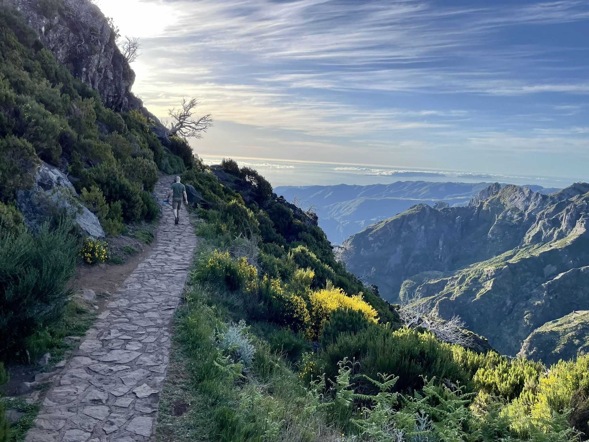
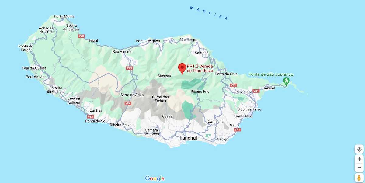
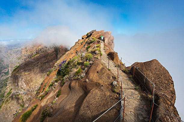
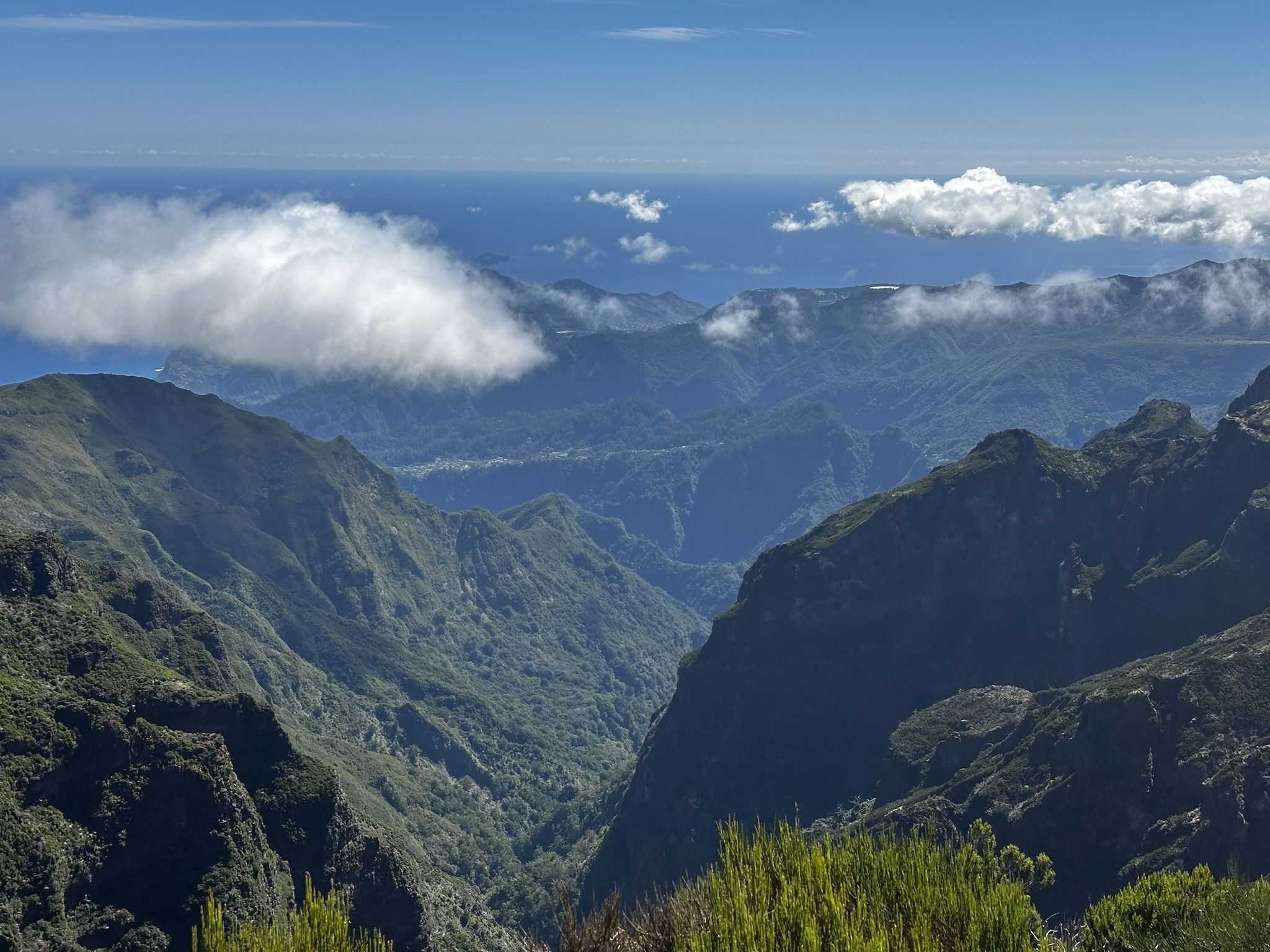
Vereda do Pico Ruivo stretches for 2.8 km, with an additional 2.8 km for the return trip. The estimated round-trip duration is 1 hour and 30 minutes. This trail begins at Achada do Teixeira and ascends towards the highest point on the island of Madeira, Pico Ruivo (1862m). Along the ascent, you'll find several refuges, as the weather conditions can change rapidly. This area is often shrouded in a sea of clouds or above it.
Hiking Technical Sheet
- Average Duration: 1h35
![plage seixal sable noir]()
- Distance: 5.6 km
![plage seixal sable noir]()
- Elevation Gain: +475m
![plage seixal sable noir]()
- Elevation Loss:
![plage seixal sable noir]()
- Highest Point: 1857 m
![plage seixal sable noir]()
- Lowest Point: 1852 m
![plage seixal sable noir]()
- Difficulty: Hard
![plage seixal sable noir]()
- Return to Starting Point: Yes
![plage seixal sable noir]()
- Municipality: Madeira
![plage seixal sable noir]()
View Map

Near the Pico Ruivo refuge, you'll have access to three other routes that take you to different locations on the island: PR 1 - Vereda do Pico do Areeiro (5.1/6.4 km), PR 1.3 - Vereda da Encumeada (8.6 km), which goes to the west side of the island to Encumeada, along the central mountain massif, and PR 1.1 - Vereda da Ilha (8.2 km), which descends to the village of Ilha.

This area is part of the European network of sites of community importance - Natura 2000 Network. Designated as the central mountain massif, it encompasses the highest points up to 1200m in altitude. It is characterized by herbaceous and shrubby vegetation well adapted to significant temperature changes, heavy rainfall, and intense winds, with heathers (Erica scoparia ssp maderensis and Erica arborea) predominating. These heathers were once heavily exploited for charcoal production.

At Achada do Teixeira and while descending the slope, you can also visit a basalt rock formation known as 'Homem em pé' (the standing man).


