PR8 | Vereda Pointe Sao Lourenço

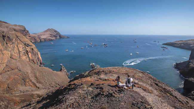
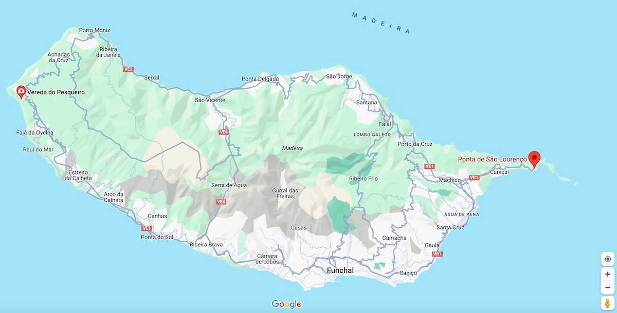
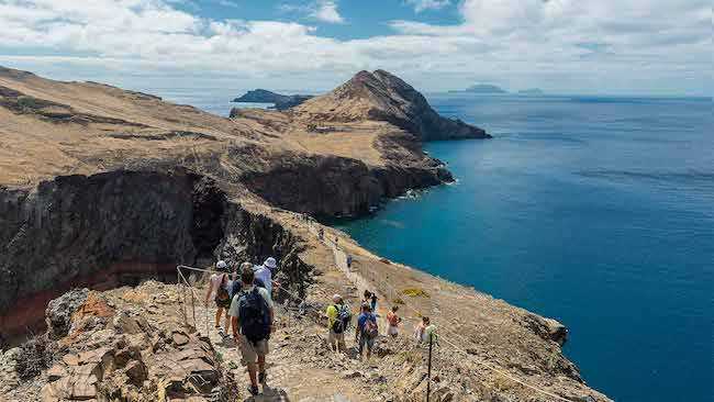
The PR 8 Vereda da Ponta de São Lourenço trail, with a total length of 3 kilometers (with an equivalent return route), offers an opportunity to explore the eastern tip of the island, providing panoramic views of the north and south sides. With a moderate difficulty level and an estimated 2 hours and 30 minutes of walking, this route follows the peninsula of the same name, allowing you to explore its natural wonders.
Hiking Technical Sheet
- Average Duration: 2h30
![plage seixal sable noir]()
- Distance: 4.0 + 4.0 km
![plage seixal sable noir]()
- Elevation Gain: +339m
![plage seixal sable noir]()
- Elevation Loss:
![plage seixal sable noir]()
- Highest Point: 77 m
![plage seixal sable noir]()
- Lowest Point: 5 m
![plage seixal sable noir]()
- Difficulty: Medium
![plage seixal sable noir]()
- Return to Starting Point: Yes
![plage seixal sable noir]()
- Municipality: Caniçal
![plage seixal sable noir]()
View Map

You can find more information HERE

Located 30 kilometers from Funchal and after passing the charming village of Caniçal, you will find a parking area where you can leave your car to start the PR8 hike. This hike is generally without major technical difficulty. The trail is well-marked and secure, offering stunning ocean views as you walk, with the rugged volcanic coastline unfolding before you.

One of the most beautiful sites on the island of Madeira, like São Lourenço, unfortunately attracts many visitors. To fully enjoy it, it is advisable to plan your hikes wisely. It's best to start a little earlier in the morning to avoid the tourist crowds. Make sure you are properly equipped, especially due to the sometimes strong winds in this area.
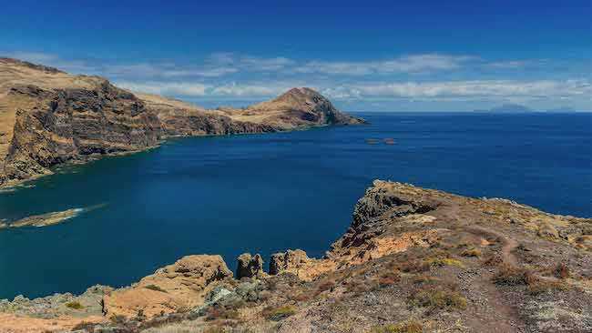
The peninsula continues with the highest point being Pointe do Furado, with its summit reaching 120 meters. From there, you will have a panoramic view of the islet da Cevada and the islet do Farol, which houses the oldest lighthouse in Madeira, now modernized and well-maintained. Before starting your return, you can take a short break at the Sardinha rest area, where you have the opportunity to have a snack at the Casa do Sardinha or even briefly descend to the small Cais do Sardinha beach for relaxation.


