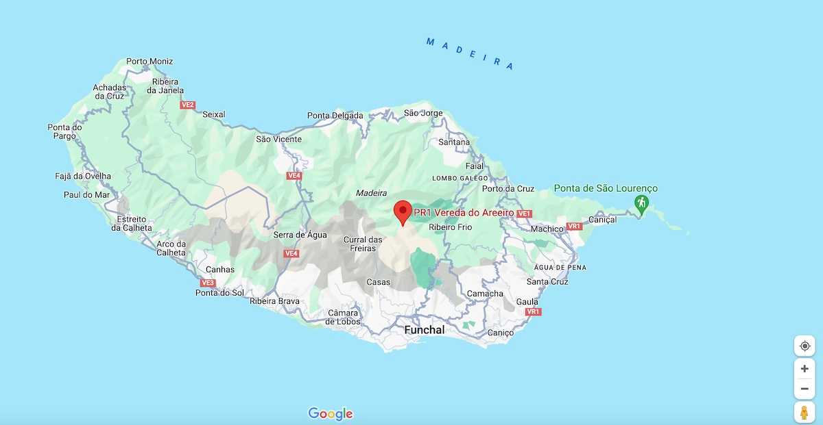
PR1 | Vereda do Areeiro

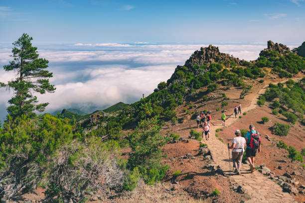
This moderate difficulty trail covers a distance of 10.8 kilometers and takes approximately 3 hours and 30 minutes. It connects the highest points on the island of Madeira, including Pico Ruivo (1862m), Pico das Torres (1851m), and Pico do Areeiro (1817m). You will traverse a part of the central mountainous massif area, an integral part of the Natura 2000 Network.
Hiking Technical Sheet
- Average Duration: 3h / 3h30
![plage seixal sable noir]()
- Distance: 10.8 km
![plage seixal sable noir]()
- Elevation Gain: +1114m
![plage seixal sable noir]()
- Elevation Loss:
![plage seixal sable noir]()
- Highest Point: 1862 m
![plage seixal sable noir]()
- Lowest Point: 1542 m
![plage seixal sable noir]()
- Difficulty: Hard
![plage seixal sable noir]()
- Return to Starting Point: Yes
![plage seixal sable noir]()
- Municipality: Pico do Areeiro
![plage seixal sable noir]()
View Map

The hike starts at Pico do Areeiro, and after a few meters, you will reach the Ninho da Manta viewpoint (Kite's Nest). This location is the only place in the world where the Madeira petrel, an endemic species of the island, nests.

To reach Pico Ruivo, you must bypass Pico das Torres by taking a steep ascent, using a staircase carved into the rock, followed by a descent.
The final ascent takes you to the Pico Ruivo shelter. Near the Pico Ruivo shelter, you will find the PR 1.2 route that provides access to Achada do Teixeira, where you can observe a basaltic rock formation known as 'Homem em Pé' (the Standing Man) as you descend the slope after passing the Achada do Teixeira shelter.


