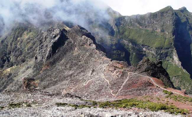
PR1.1 | Vereda da Ilha
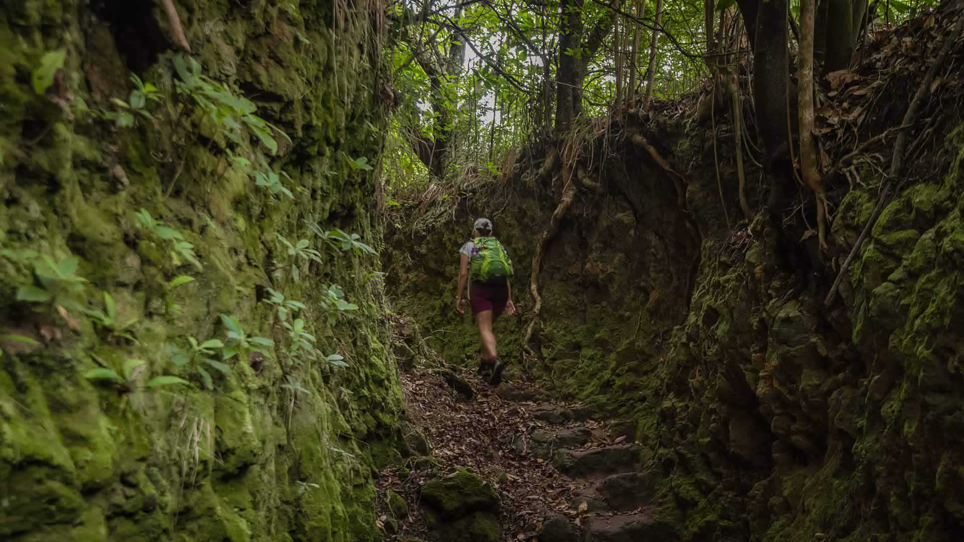
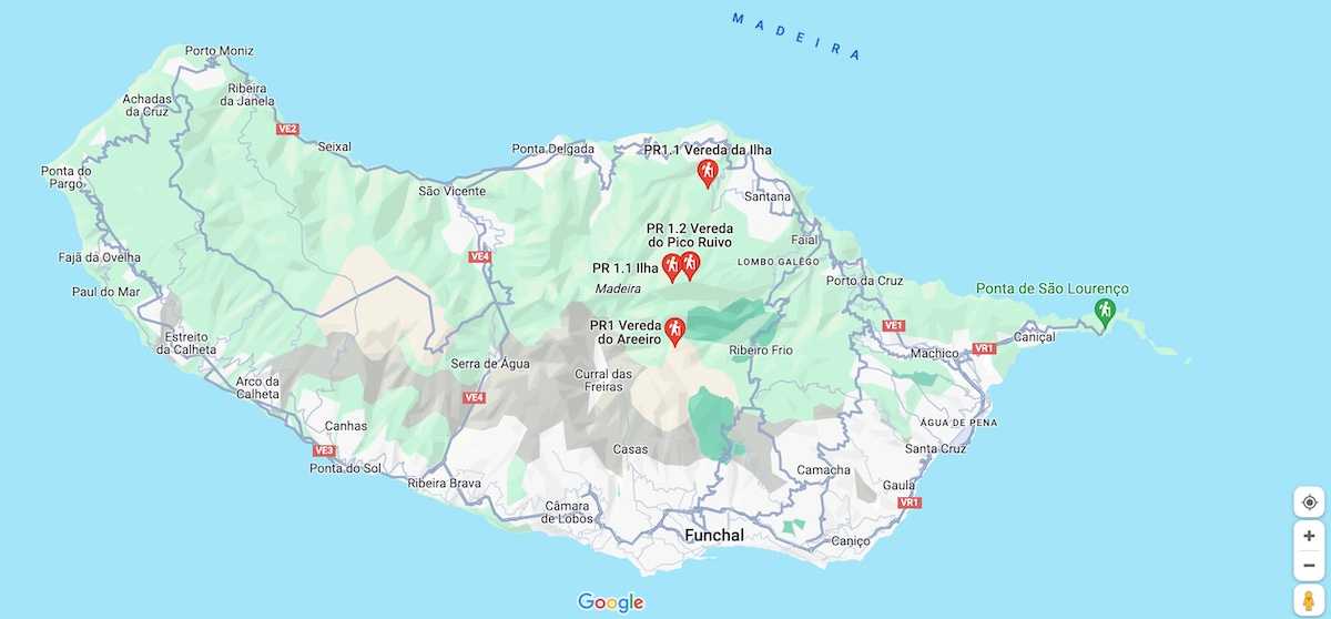
This hike starts in the small village of Ilha and takes you to Pico Ruivo, the highest point on the island of Madeira, rising to 1862 meters above sea level. When you reach the summit, the feeling of being at the top of the island is simply fabulous, offering a graceful and magnificent landscape to admire.
Hiking Technical Sheet
- Average Duration: 5h00
![plage seixal sable noir]()
- Distance: 15 km
![plage seixal sable noir]()
- Elevation Gain: +1550m
![plage seixal sable noir]()
- Elevation Loss: -1550m
![plage seixal sable noir]()
- Highest Point: 1855 m
![plage seixal sable noir]()
- Lowest Point: 490m
![plage seixal sable noir]()
- Difficulty: Hard
![plage seixal sable noir]()
- Return to Starting Point: Yes
![plage seixal sable noir]()
- Municipality: Island
![plage seixal sable noir]()
View Map
Due to the elevation gain of 1476 meters, this 8.2-kilometer hike, which takes about 3 hours, should be undertaken at a leisurely pace. Enjoy the ascent to admire the beautiful landscape surrounding you, as the effort is truly worthwhile.
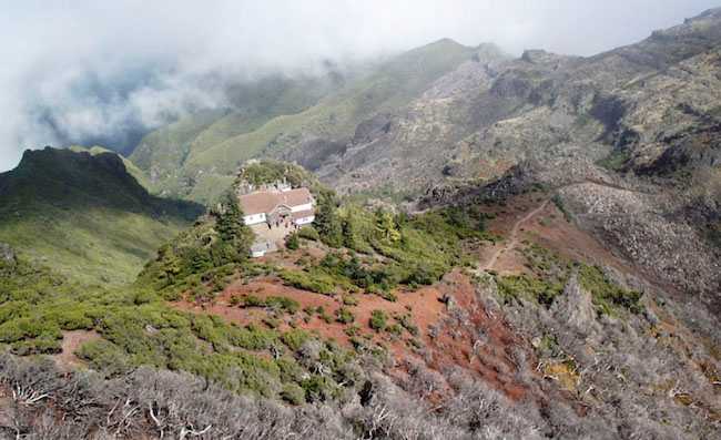
At the top of Pico Ruivo, the panoramic view is simply breathtaking. You find yourself literally above the clouds, surrounded by other mountains, including Pico do Areeiro, the island's third-highest peak at 1817 meters above sea level. When the sky is clear, you can see the sea in the distance, as well as some small villages, such as Curral das Freiras, nestled in the heart of the Madeira mountains. It's a secluded village, but of natural and unique beauty.
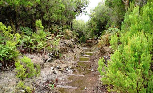
Do not hike after rain, as it's very wet and slippery, so good shoes are recommended, especially for the return. Recommended for experienced and fit hikers.
