PR1.3 | Vereda da Encumeada

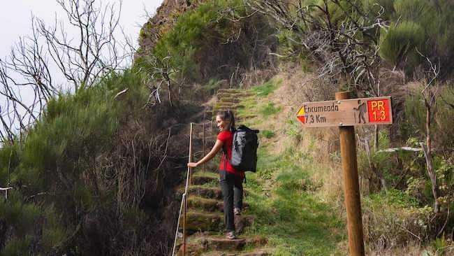
The Encumeada trail, with a length of 11.2 km and an estimated duration of 6 hours, starts at Encumeada. This hike offers numerous ascents and descents, taking place between 1800 and 1000 meters of altitude toward the Pico Ruivo refuge.
Hiking Technical Sheet
- Average Duration: 5h00
![plage seixal sable noir]()
- Distance: 11.2 km
![plage seixal sable noir]()
- Elevation Gain: +1270m
![plage seixal sable noir]()
- Elevation Loss:
![plage seixal sable noir]()
- Highest Point: 1800 m
![plage seixal sable noir]()
- Lowest Point: 1000
![plage seixal sable noir]()
- Difficulty: Hard
![plage seixal sable noir]()
- Return to Starting Point: No
![plage seixal sable noir]()
- Municipality: Encumeada
![plage seixal sable noir]()
View Map

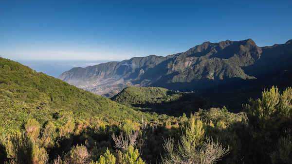
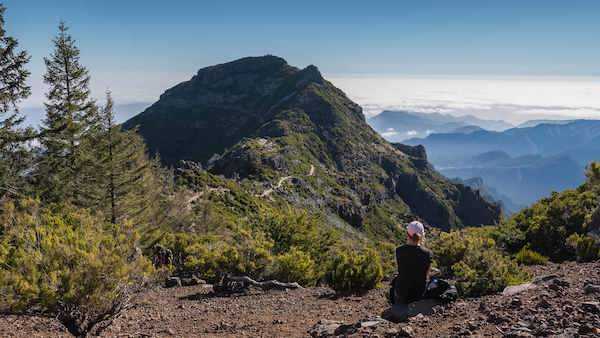
Hikers will discover landscapes of extreme beauty and will cross two types of ecosystems that are part of the European Network of Sites of Community Importance - Natura 2000 Network: the Central Mountain Massif and the Laurissilva forest.

You'll encounter occasionally slippery paths, misty conditions depending on the weather, and a variety of flora.
Throughout the hike, you'll come across several caves (known as 'furnas' in Portuguese) carved into the rocks, which once served as shelter for people traveling this path to cut heather (Erica scoparia ssp maderensis and Erica arborea) used for the production of wooden stakes or charcoal.


