PR9 | Levada do Caldeirão Verde

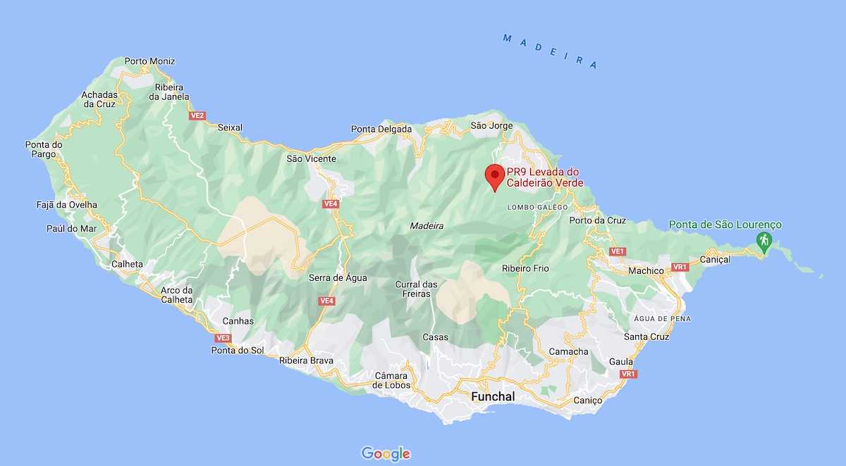
The PR 9 Levada do Caldeirão Verde trail extends over a distance of 8.7 kilometers (with an equivalent round trip) and is of moderate difficulty. It offers hikers the opportunity to explore the geographical features of the island's interior, renowned for its grand landscapes. The levada do Caldeirão Verde, a remarkable engineering feat dating back to the 17th century, serves as the starting point for this route, located in the Queimadas Forest Park. The trail follows the course of the levada do Caldeirão Verde, perched at an altitude of 980 meters, in the municipality of Santana.
Hiking Technical Sheet
- Average Duration: 6h30
![plage seixal sable noir]()
- Distance: 17.4 km
![plage seixal sable noir]()
- Elevation Gain: /
![plage seixal sable noir]()
- Elevation Loss:
![plage seixal sable noir]()
- Highest Point: 1020 m
![plage seixal sable noir]()
- Lowest Point: 872 m
![plage seixal sable noir]()
- Difficulty: Medium
![plage seixal sable noir]()
- Return to Starting Point: Yes
![plage seixal sable noir]()
- Municipality: Queimadas Forest Park
![plage seixal sable noir]()
View Map

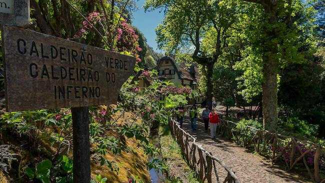
At the beginning of the hike, you will walk alongside the beautiful hydrangeas that line the levada. Gradually, you will delve into a forest composed of cedars, beeches, and laurels. Later on, it will feel like you're in the jungle!

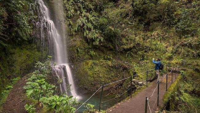
The water that meanders along the trail will accompany you throughout the hike. The ground is constantly damp, contributing to the lush greenery of the forest. Water trickles down the walls and feeds the levada, so in other words, without proper hiking shoes, you'll end up with wet feet.

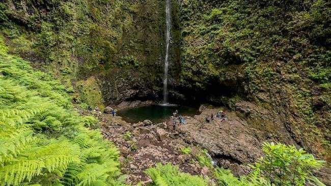
After passing through the 4 tunnels along the route, the Caldeirão Verde appears to the left of the levada. The Caldeirão Verde lake is formed by water that projects vertically from the bed of Ribeira do Caldeirão Verde at a height of about 100 meters, filling a small lagoon. After regaining your strength, you can continue on to Caldeirão do Inferno, at 2200 meters, or return via the Levada do Caldeirão Verde.


