PR7 | Levada do Moinho

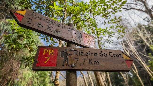
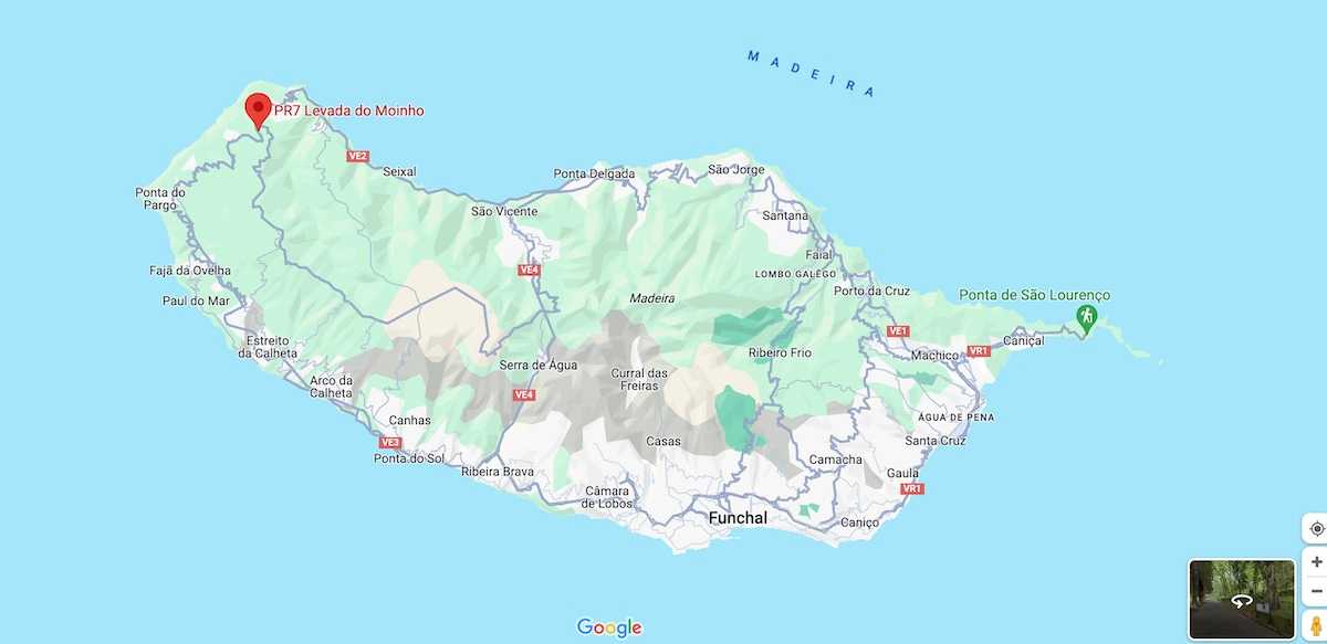
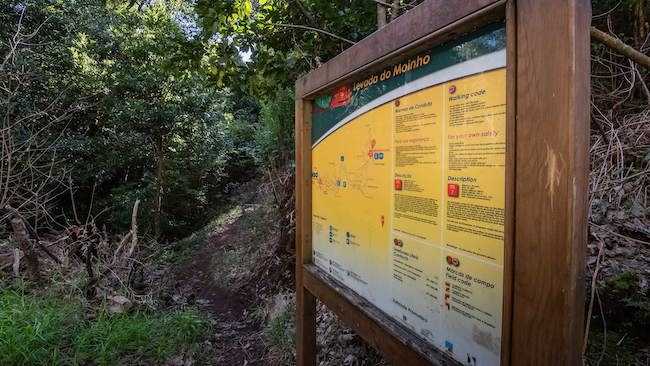
This 10.5-kilometer trail, with an estimated duration of 3 hours and 30 minutes, starts near Ribeira da Cruz, along the regional road E.R. 101. This locality is located at the border between the municipalities of Porto Moniz and Calheta. The trail begins on regional road E.R. 101, near Ribeira da Cruz, a locality that separates the municipalities of Porto Moniz and Calheta. From the road, you will follow a path that will take you to the levada. By walking in the opposite direction of the water flow, you can visit one of the sources that supply this levada.
Hiking Technical Sheet
- Average Duration: 3h30
![plage seixal sable noir]()
- Distance: 10.5 km
![plage seixal sable noir]()
- Elevation Gain: +339m
![plage seixal sable noir]()
- Elevation Loss:
![plage seixal sable noir]()
- Highest Point: 940 m
![plage seixal sable noir]()
- Lowest Point: 5 m
![plage seixal sable noir]()
- Difficulty: Medium
![plage seixal sable noir]()
- Return to Starting Point: No
![plage seixal sable noir]()
- Municipality: Porto Moniz
![plage seixal sable noir]()
View Map

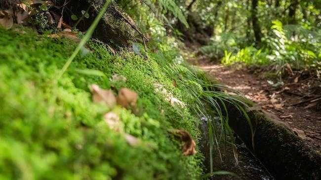
To continue towards Junqueira, you will need to retrace your steps and follow in the direction of the water flow. Be careful as you will encounter several diversions of the levada that channel water to irrigation reservoirs. The Levada Grande or do Moinho is so named because of the many watermills that existed along its route.

Currently, it is still possible to see the ruins of three of them (Achadas Mill, Cancelas Mill, and Levada Grande Mill).

This levada is a 'heréus' levada (co-owners of the levadas in this area), meaning it was built at the expense of its users, who are the sole users of it.


