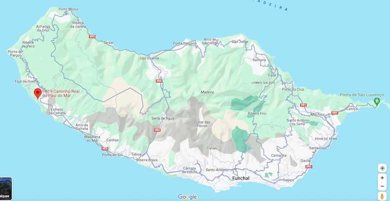
PR 19 | Caminho Real Do Paul Do Mar

The Caminho Real do Paul do Mar is a short 1.8-kilometer trail, with an approximate duration of 1 hour and 20 minutes, winding downhill between the locality of Prazeres and Paul do Mar.
Hiking Technical Sheet
- Average Duration: 1h20
![plage seixal sable noir]()
- Distance: 1.8 km
![plage seixal sable noir]()
- Elevation Gain: /
![plage seixal sable noir]()
- Elevation Loss: 520m
![plage seixal sable noir]()
- Highest Point: 550 m
![plage seixal sable noir]()
- Lowest Point: 10 m
![plage seixal sable noir]()
- Difficulty: Medium
![plage seixal sable noir]()
- Return to Starting Point: No
![plage seixal sable noir]()
- Municipality: Prazeres
![plage seixal sable noir]()
View Map

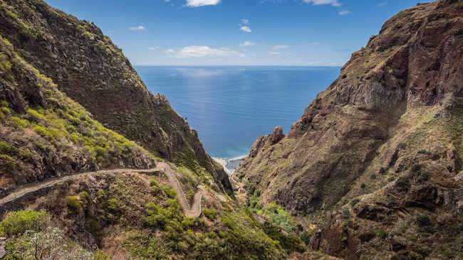
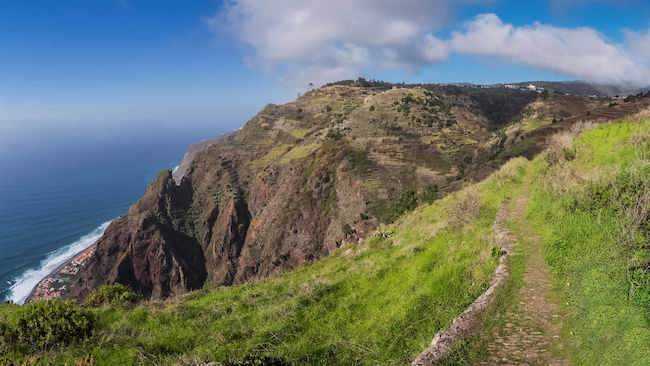
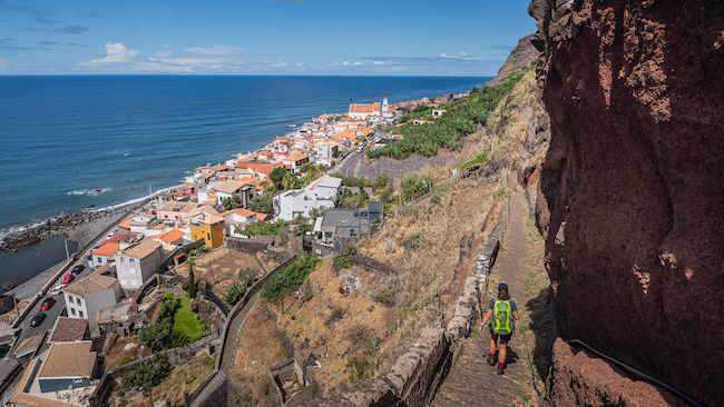
Hiking trail PR19, also known as the 'Royal Path to Paul do Mar,' is a brief excursion that begins with a magnificent view at 550 meters in altitude overlooking the village of Paul do Mar. This route, primarily consisting of zigzag descents, guides you to this charming seaside village.

This hike is not very long, covering less than 2 kilometers. However, it's important to consider the downhill slope, which represents a negative elevation drop of about 520 meters, which can put strain on the knees.

It bears witness to the challenging access of the past, as it was the only alternative to the sea. At the end of the walk, go and explore the community that preserves the fishing tradition and experiences a renaissance thanks to the seaside bars that welcome tourists.


