PR 17 | Caminho Do Pinaculo

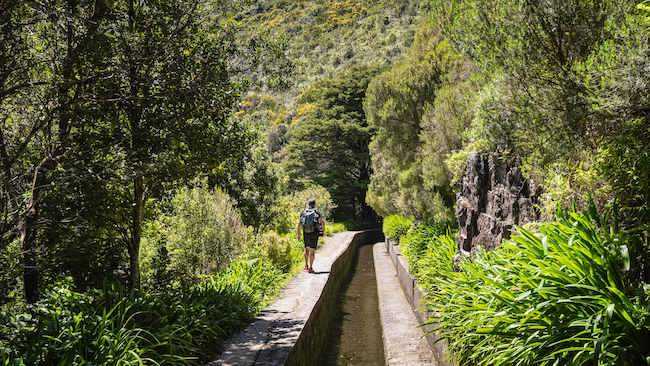
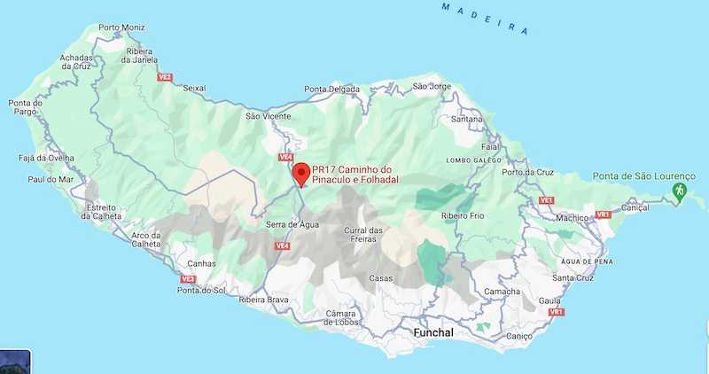
The Caminho do Pinaculo and Folhadal trail extends over a total distance of 15 kilometers, with an estimated walking time of about 6 hours and 30 minutes. It traverses a pristine natural environment, characterized by varying altitudes, reaching a peak at 1490 meters, and winds through a lush Laurissilva forest. The starting point for this hike is near Regional Road 110, on the ascent from Encumeada to Paul da Serra. This route will allow you to access the areas of Bica da Cana, Casa do Caramujo, and Folhadal.
Hiking Technical Sheet
- Average Duration: 6h30
![plage seixal sable noir]()
- Distance: 15 km
![plage seixal sable noir]()
- Elevation Gain: 900 m
![plage seixal sable noir]()
- Elevation Loss:
![plage seixal sable noir]()
- Highest Point: 1490 m
![plage seixal sable noir]()
- Lowest Point: 970 m
![plage seixal sable noir]()
- Difficulty: Hard
![plage seixal sable noir]()
- Return to Starting Point: No
![plage seixal sable noir]()
- Municipality: Lombo do Mouro
![plage seixal sable noir]()
View Map

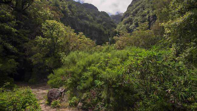
In this trail, you will pass through an area rich in natural vegetation, composed of high-altitude species such as Madeira orchids (Dactylorhiza foliosa), large-leaved buttercups (Ranunculus cortusifolius), wild chrysanthemums (Argyranthemum pinnatifidum), and Madeira geraniums (Geranium palmatum).

When you reach the top of the trail, in the Pinaculo area, you can enjoy a magnificent view of the Ribeira Brava valley and, in the background, the Central Massif where you can observe the two highest points in Madeira: Pico do Areeiro and Pico Ruivo.

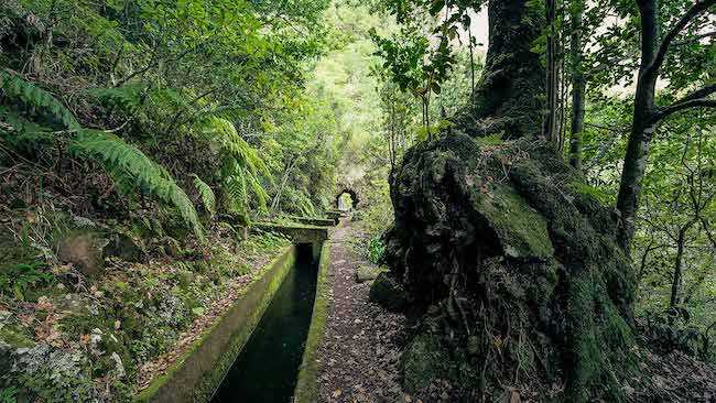
Waterfalls and tunnels are plentiful along the route. You will come to a point where the levada, which has been accompanying you from the beginning, splits into two branches. You will then follow the path along the Northern Levada. Once you reach Encumeada, it is possible to join the route PR 1.3 - Vereda da Encumeada that concludes at Pico Ruivo if you have the necessary abilities.


